The Martock Peripheral Landscape Study
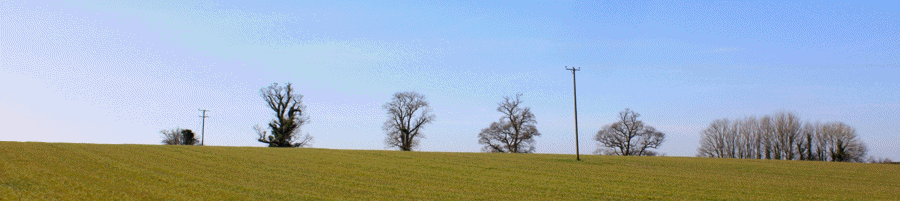 The row of Oak trees across the ridge of Hallett Hill. A landmark view from many parts of the village.
| Home - Environment - Landscape Study | |
|---|---|
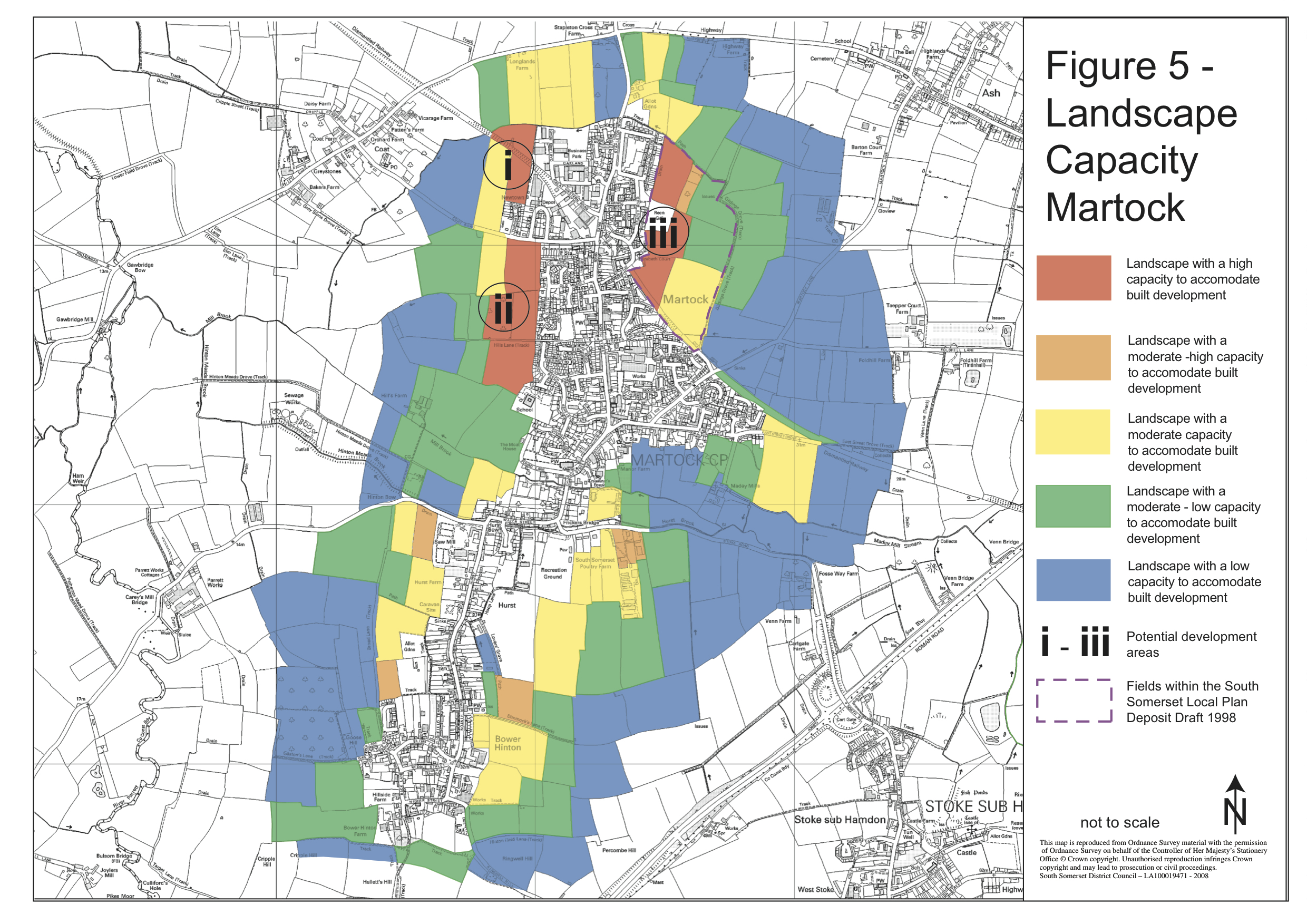
What is the Landscape Study? This study, completed in 2008 was carried out by Robert Archer of the Conservation and Design Unit of South Somerset District Council. It describes the setting of Martock in the Landscape around it. It tells us what is important about the Landscape around us and how we should protect it and the views that we enjoy of it. It contains several maps that show where the important landscapes are and where the important views are. A third map uses these two together to advise us where development should, and should not, take place. This map is reproduced below. We have a 'development boundary' that marks the edge of current development. Development can still take place outside the boundary but the map below can be used to decide whether we should support or oppose it on landscsape grounds. The Martock Peripheral Landscape Study can be downloaded here |
Why is the Landscape Study Useful? The Landscape Study is a very useful document because it advises us where development should NOT happen if we are to avoid harming our environment. The government planning policy document (National Planning Policy Framework, NPPF) is strong on protecting the environment. It forces Local Authorities and Neighbourhoods to have policies protecting the environment. The Landscape Study gives us the evidence we need to develop these policies. The Planning Inspectorate is the national body who adjudicate planning disputes. They have to weigh the harm done by a development proposal against its benefits. Harm to the environment is an important consideration. We have seen several Planning Inspectorate rulings in Martock in the last few years that have rejected a development mainly because of the damage they would do to our landscape and the important views around the village.
|
 |
|